
Construction projects generate constant change, and keeping an accurate record of that change has traditionally been a slow, manual process. Drone construction photography is changing that, giving project managers, contractors, and stakeholders a fast, consistent way to document progress from a perspective that ground-level photos simply cannot match.
We at Quality Aerials, are based in Falmouth, ME, provide drone construction photography and construction site drone monitoring across Portland, Brunswick, Windham, and the greater Maine area, helping construction teams keep accurate visual records throughout every phase of a project.
Every construction project moves through key milestones, from site clearing and foundation work to framing, exterior completion, and final landscaping. Drone construction photography captures each of these stages from a consistent vantage point, creating a clear visual record that shows exactly how the site looked at each phase. According to research published in the journal Drones, aerial imagery and photogrammetry surveys allow project managers to assess construction status against the project timeline, helping identify delays or bottlenecks early.
Keeping owners, investors, and project teams aligned depends on clear, shared visibility into how a project is progressing. Aerial photography services give stakeholders who may not be able to visit the site regularly in Maine an accurate sense of where things stand. Columbia Southern University notes that drone photography can provide documentation confirming a task or project was completed correctly, supporting estimators, superintendents, and project managers in forming strategies to keep a project on schedule.
Beyond communication, drone construction photography creates a permanent visual archive of a project. This kind of documentation, captured through high-resolution aerial photography, is valuable for warranty claims, dispute resolution, payment applications, and post-project reviews. A research team at the University of Illinois developed a drone-based monitoring system used during construction of the Sacramento Kings arena that combined drone imagery and video with Building Information Modeling to quickly identify and visually communicate progress and potential issues to project participants both on and off site.
Regular flights from a licensed drone pilot, taken at consistent intervals, allow construction teams across Maine and New Hampshire to track how a site evolves week over week. Comparing imagery side by side reveals grading progress, material staging, equipment movement, and structural milestones, giving teams an easy way to spot issues before they become costly.
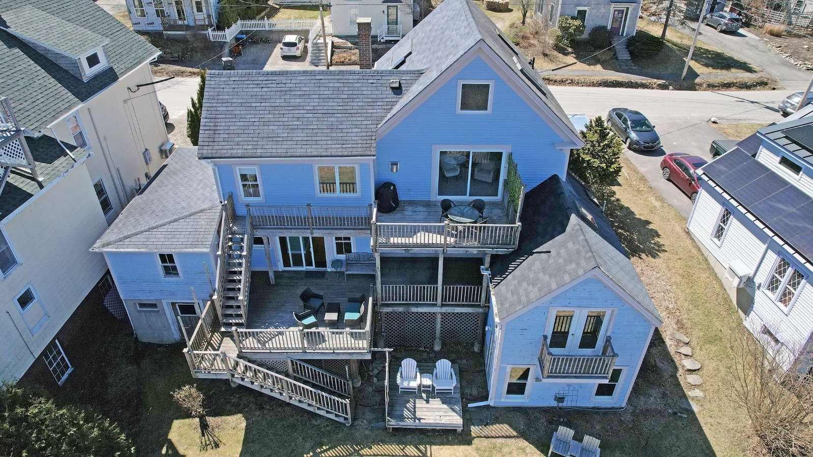
If you’re managing a project in Portland, Falmouth, Brunswick, Windham, or anywhere across greater New England, we at Quality Aerials love to help you document it from the ground up. As an FAA certified drone operator, we offer drone construction photography in Maine, construction site drone monitoring, and real estate photography, alongside expanding specialty work like thermal drone services, drone surveying and mapping, and drone golf course management. Give us a call.