Modern farming has always been a race against time. A pest infestation caught late, an irrigation leak left undetected, a section of drought-stressed crops that goes unnoticed until harvest season- each of these scenarios carries a financial cost that compounds quickly across large fields.
For generations, farmers relied on walking the land, scouting manually, and reacting to problems that were already visible. Today, thermal drone services are changing that equation entirely, giving agricultural drone services professionals the ability to see what is happening in their fields days or even weeks before any symptom appears to the naked eye.
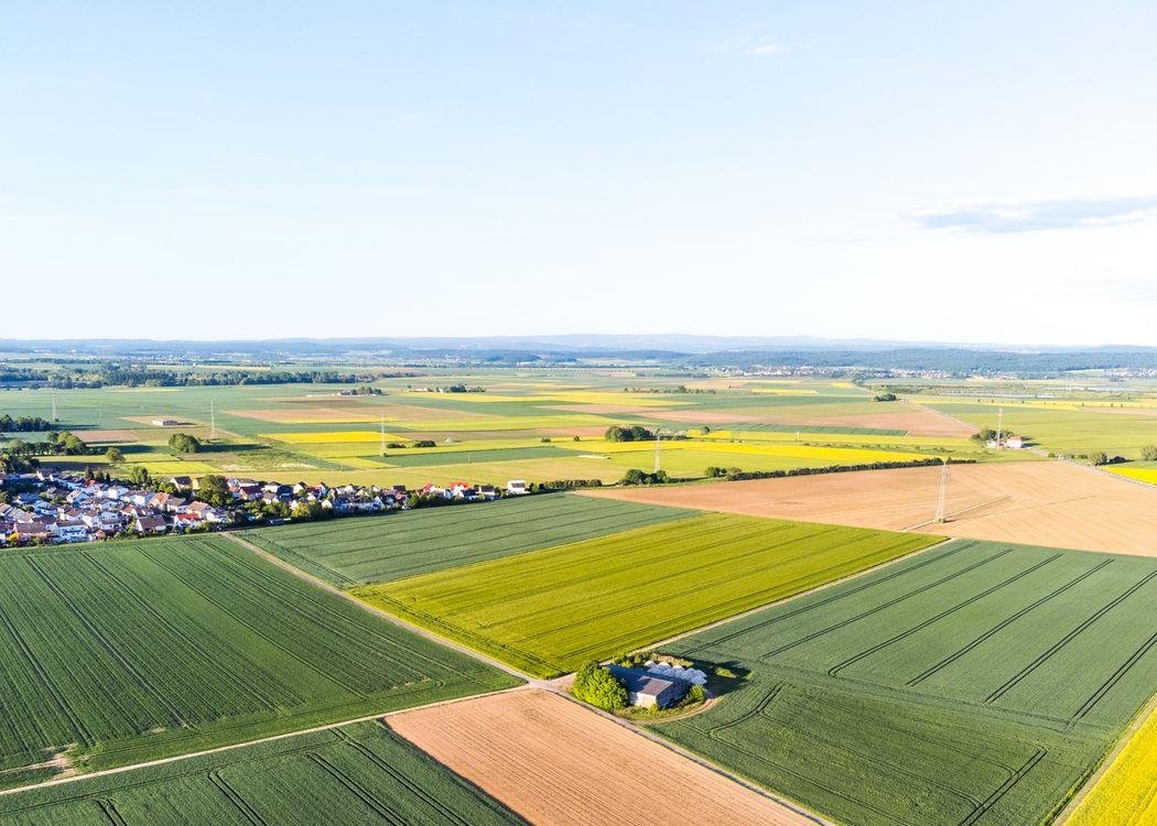
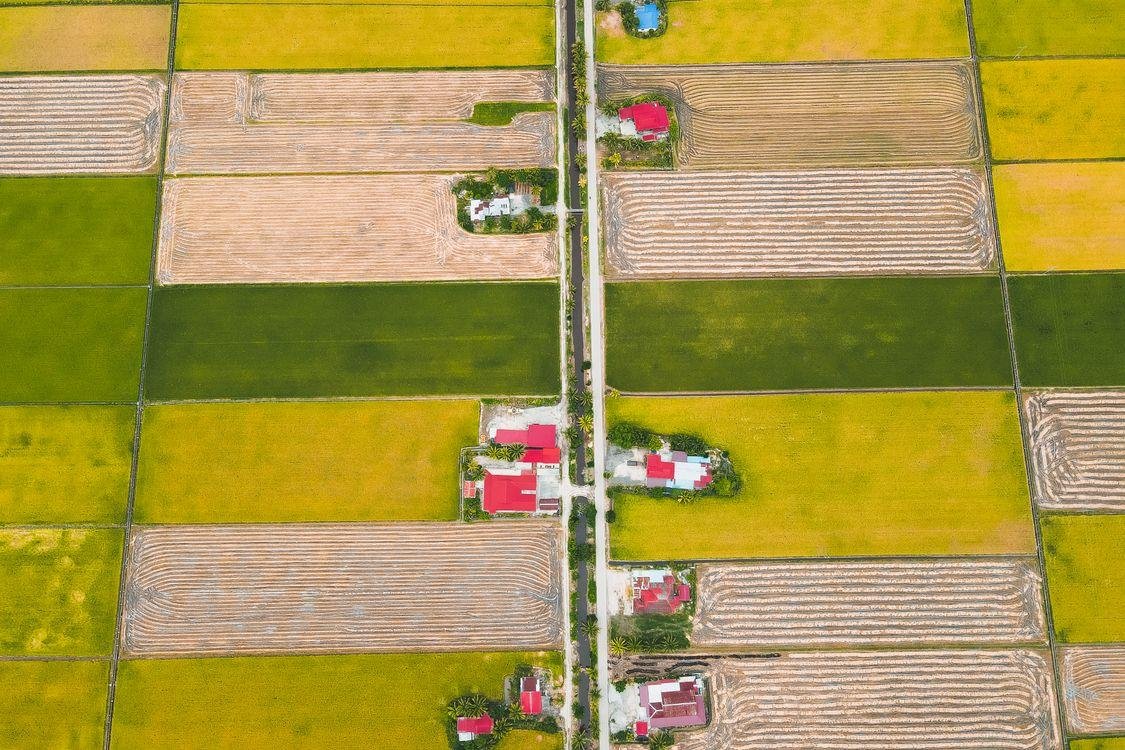
From small family farms to large commercial operations across New England and beyond, aerial thermal imaging is quietly becoming one of the most valuable tools in modern precision agriculture. The question is no longer whether this technology works. The question is how much yield and resource waste farmers are leaving on the table without it.
A professional drone photographer operating in the agricultural space carries infrared sensors that read heat emitted from the surface of crops, soil, and water. Every living plant has a temperature signature that shifts in response to its environment. A well-irrigated, healthy crop maintains a predictable canopy temperature. When something goes wrong, whether drought stress, pest activity, nutrient deficiency, or drainage failure, that temperature shifts, and the thermal sensor captures it.
The drone flies a pre-planned grid pattern over the field, collecting thousands of data points that are then assembled into a color-coded heat map. Cooler zones appear in one range of tones, warmer zones in another, and the resulting image gives agronomists and farm managers a field-wide picture of variation that no amount of ground scouting could replicate in the same timeframe.
According to the USDA National Institute of Food and Agriculture on using drones in agriculture and natural resources, drone systems have been developed specifically to monitor plant water stress and help farmers target irrigation resources where they are needed most, supporting more profitable and sustainable farm management across the country.
Irrigation is one of the highest operating costs and one of the most difficult systems to monitor across a large field. A clogged emitter, a broken drip line, a pressure drop in one section of a pivot- these problems are nearly impossible to identify from the ground without walking every row. From the air, thermal drone services reveal them almost immediately.
Areas receiving insufficient water show elevated canopy temperatures because water-stressed plants close their stomata and transpire less, causing surface temperatures to rise. Areas being overwatered show correspondingly cooler signatures. A single thermal flight can map the entire irrigation performance of a field and identify every anomaly, giving farm managers the information they need to make targeted repairs rather than expensive system-wide interventions.
Research on drone-based thermal sensors and irrigation scheduling confirms a direct relationship between canopy temperature and water stress levels, validating thermal imaging as a reliable tool for optimizing irrigation management and reducing water waste across diverse crop types.
One of the most significant advantages of thermal drone services is the ability to detect crop stress before it becomes visible. Healthy plants regulate their temperature through transpiration. When pest activity, fungal infection, or nutrient deficiency disrupts that regulation, the affected area registers a temperature change that high-resolution aerial photography captures with precision.
This early detection window is critical. A pest infestation identified in week one requires a targeted, localized response. The same infestation identified in week four or five has often spread across a much larger area, multiplying both the damage and the treatment cost.
Thermal imaging allows farm managers to act at the earliest possible stage, limiting losses and reducing the volume of pesticides or treatments applied, which has both economic and environmental benefits.
The same logic applies to disease. Fungal infections and bacterial outbreaks typically cause localized temperature anomalies in affected plant tissue before any discoloration or wilting is visible.
Agricultural drone services flag these anomalies on the heat map, directing agronomists exactly where to look and what to test. Catching these issues early not only reduces the immediate cost of treatment but also protects surrounding crops from secondary spread, compounding the value of a single thermal survey many times over.
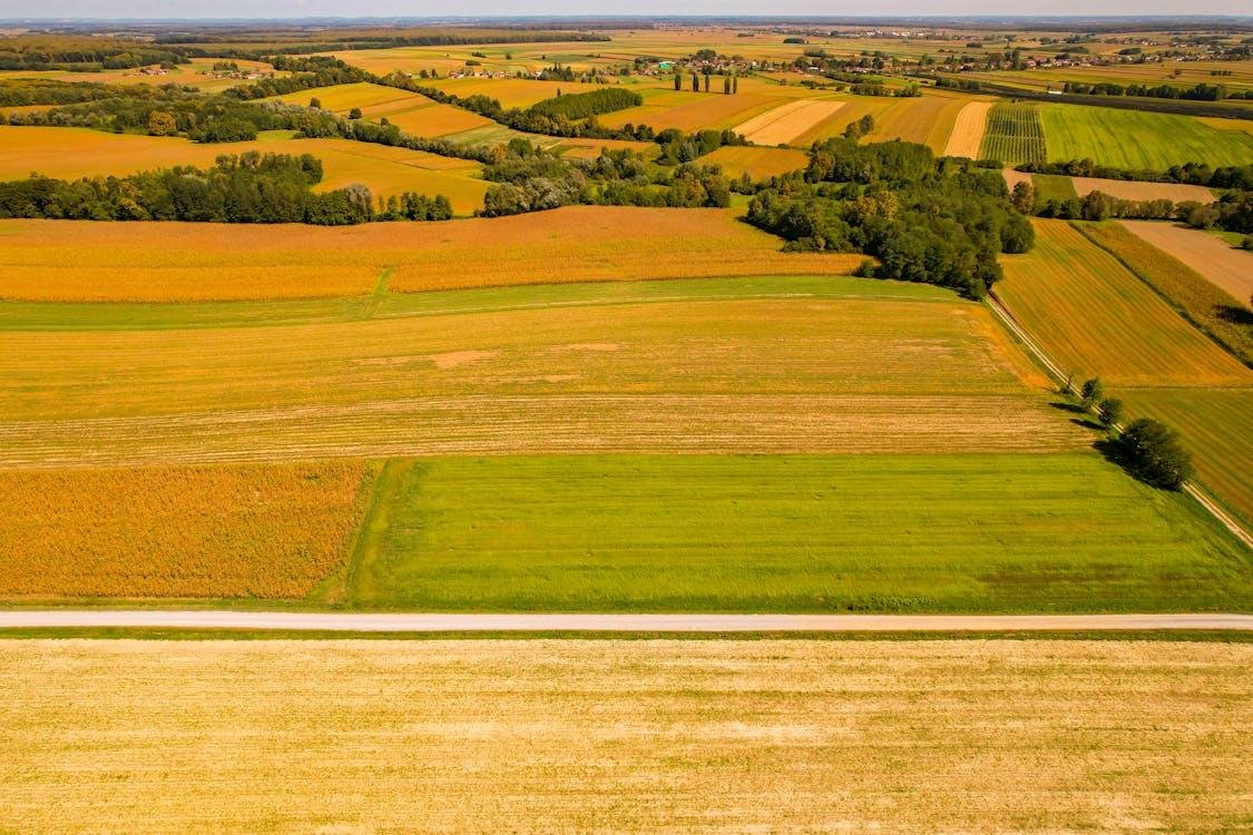
Fields are rarely uniform. Soil composition, compaction, elevation changes, and drainage capacity vary from one section to the next, and those variations directly affect how crops grow and how they respond to irrigation and rainfall. Drone mapping and inspection services capture these variations across the entire field in a single flight, revealing drainage patterns, waterlogged zones, dry pockets, and compaction areas that create uneven growing conditions.
Poorly drained sections stay cooler and wetter longer after rain events, showing clearly in thermal data as persistently low-temperature zones. These areas are prone to root disease and nutrient lockout, and addressing them through targeted drainage improvements or soil amendments can have a significant impact on overall field productivity.
Thermal data also helps identify natural field variations that are not drainage-related but still affect yield. Differences in soil organic matter, for instance, create measurable temperature differences at the surface that show up clearly in a thermal heat map. Mapping these variations allows farm managers to apply fertilizer, amendments, and water more precisely, concentrating resources in the areas that need them most and reducing waste in sections that do not.
The USDA Agricultural Research Service’s Soil Drainage Research unit highlights that managing excess water on agricultural lands is among the most serious production challenges facing farms in humid regions of the U.S., underscoring why accurate field drainage mapping through tools like thermal drone services is increasingly critical to both productivity and environmental protection.
Data is only as valuable as the decisions it drives. One of the reasons thermal drone services have gained traction so quickly in the agricultural sector is that the output is immediately interpretable. A color-coded heat map does not require advanced technical training to read. A farm manager looking at a thermal image of their field can see within seconds which zones are performing differently, where irrigation is uneven, and where crop stress is concentrated.
That clarity supports faster, more confident decision-making at every level of farm management. A single thermal flight early in the growing season can set the agenda for the weeks ahead, prioritizing where to scout on the ground, where to adjust irrigation, where to apply treatment, and where conditions are strong enough to leave alone. This kind of targeted management reduces the time and labor spent on broad, speculative interventions and replaces it with a precise, data-driven plan.
Repeated flights across a growing season build an even richer picture. Comparing early-season, mid-season, and late-season thermal data reveals how fields respond to weather events, irrigation adjustments, and treatments over time. This longitudinal view becomes a powerful planning tool for the following season, informing decisions about crop selection, field layout, infrastructure investment, and resource allocation with evidence rather than guesswork.
The same infrared technology powering thermal drone services in agriculture is driving equally significant advances in other industries. Drone roof inspection services and building energy audits rely on the same heat-detection principles to identify insulation failures, moisture intrusion, HVAC inefficiencies, and electrical hotspots across commercial and residential properties, all without scaffolding or physical access to difficult areas.
For property owners and facility managers, this means faster, safer, and more comprehensive inspections than traditional manual methods can deliver. A commercial drone services provider equipped with thermal imaging can survey an entire building envelope in a fraction of the time it would take a ground crew, producing a detailed heat map that pinpoints exactly where energy is being lost and where maintenance is needed. This application is a natural extension of the same aerial data capabilities that make thermal imaging so powerful on the farm.
Understanding when to deploy thermal drone services is as important as understanding what they detect. Thermal imaging is most informative when conditions create a meaningful temperature differential between healthy and stressed plant tissue. Early morning flights, when ambient temperatures are lower and plant stress signatures are most pronounced, typically yield the clearest data.
In terms of seasonal timing, early-to-mid growing season flights are most valuable for detecting irrigation issues, emerging pest pressure, and early crop stress before significant yield damage has occurred.
A second flight during peak growth captures a different set of performance variables, particularly around nutrient uptake, canopy development, and field variation under full crop load. A pre-harvest flight can assess crop maturity unevenness and identify sections that may need different timing or treatment before cutting.
For farms in Maine and across the Northeast, where the growing season is compressed and weather windows are unpredictable, scheduling thermal flights strategically around key growth stages gives farmers the most actionable return on their investment. Even a single well-timed flight during a critical growth window can identify issues early enough to prevent significant losses.
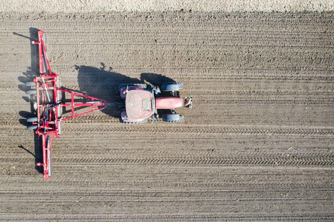
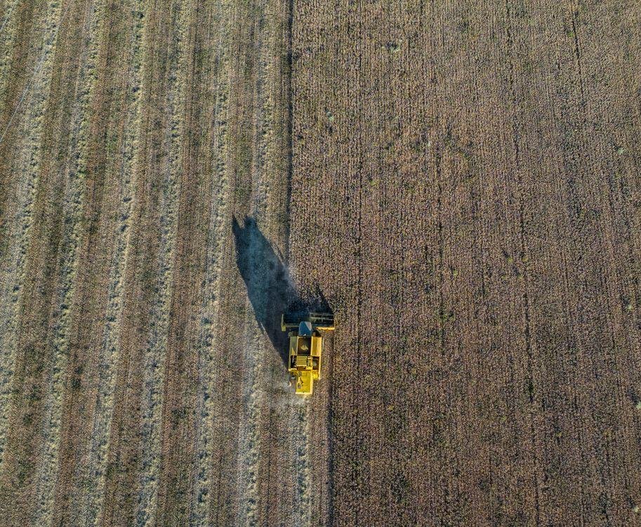
The economic case for thermal drone services in agriculture is straightforward. Manual field scouting is labor-intensive, time-consuming, and incomplete. A licensed drone pilot operating with thermal sensors can survey hundreds of acres in a single flight, generating actionable data within hours that a ground crew could not replicate in days.
That speed translates directly into savings. Irrigation inefficiencies caught early reduce water bills and prevent crop loss. Pest and disease outbreaks identified before they spread reduce treatment costs and minimize yield reduction. Drainage and soil issues mapped from the air allow for targeted land improvements rather than broad, expensive interventions across the entire field.
Beyond the reactive benefits, drone mapping and inspection services also support better long-term planning. Seasonal thermal data reveals how fields perform under different conditions, helping farm managers make smarter decisions about crop rotation, planting density, irrigation scheduling, and infrastructure investment year over year.
The cumulative value of that data grows with each passing season, making early adoption of thermal drone monitoring a compounding investment rather than a one-time cost.
For farms across Maine and New England, where growing seasons are shorter and weather variability is significant, the ability to maximize every acre during the season window is not just an efficiency gain. It is a competitive necessity.
Thermal drone services do not operate in isolation. They complement and enhance other precision agriculture tools, feeding data into broader farm management decisions alongside soil testing, weather monitoring, and yield mapping. When integrated into a seasonal monitoring program, thermal imaging creates a running record of field health that becomes more valuable over time as patterns emerge and baselines are established.
This same aerial data infrastructure supports adjacent commercial drone services including drone surveying and mapping for land assessment and planning, as well as drone golf course management, where turf health, drainage monitoring, and irrigation efficiency are equally critical concerns.
An FAA-certified drone operator bringing thermal imaging capabilities to a golf course can identify underperforming turf sections, drainage failures, and irrigation dead zones across an entire course in a single session, delivering the same precision data advantages that farmers have come to rely on.
As the technology continues to mature and costs continue to fall, thermal drone services are moving from a premium option available only to large operations into a practical, accessible tool for farms and properties of all sizes. Early adopters across the agricultural sector are already seeing the returns, and the gap between operations that use this data and those that do not is widening with every growing season.
We at Quality Aerials are a family-owned, FAA-certified provider of professional aerial drone photography, videography, drone inspections, and expanding specialty services across Maine, New Hampshire, and the greater New England area, including thermal drone services for agriculture and crop monitoring, building energy audits, drone surveying and mapping, and drone golf course management.
Our team brings the precision and local expertise your operation needs to stay ahead of problems before they affect your bottom line. Reach out to us to discuss your next project.