In today’s fast-paced industries, efficiency, safety, and accuracy are critical. Property managers, construction supervisors, real estate professionals, agricultural operators, and commercial developers all rely on inspections to protect investments and maintain standards. However, traditional inspection methods are often time-consuming, expensive, and dangerous.
Drone technology has changed that.
Across the state, companies are increasingly turning to drone inspection services to complete inspections faster, reduce physical risk, and gather highly detailed visual data. From drone roof inspections to large-scale construction site monitoring, drones provide a smarter, safer alternative to outdated inspection methods.
This blog explores how drone inspections save time, improve safety, enhance reporting accuracy, and create long-term value for businesses and property owners throughout Maine and Falmouth.
For decades, inspections required physical access. Roofers climbed ladders and engineers walked through unstable construction zones. Farmers drove across acres of land while marina managers relied on scaffolding or boats to evaluate structures.
These methods came with serious drawbacks.
Manual roof inspections increase fall risks. Construction site walkthroughs expose supervisors to heavy machinery and unstable terrain. Agricultural surveys consume valuable hours. In many cases, additional equipment such as lifts or scaffolding must be rented, adding expense and logistical delays.
Even more concerning is the inconsistency of documentation. Traditional inspections often rely on written notes and limited photographs, leaving room for human error or incomplete reporting.
This is why businesses are now prioritizing modern commercial drone services that deliver consistent, high-quality aerial documentation without disrupting operations.
One of the most immediate advantages of drone technology is speed. A drone can survey a large commercial roof, development site, or agricultural field in a fraction of the time required for manual inspection.
With advanced stabilization systems and professional-grade cameras, high-resolution aerial photography captures clear imagery from multiple angles quickly and efficiently. What once required hours of setup and physical access can now be completed in a single flight.
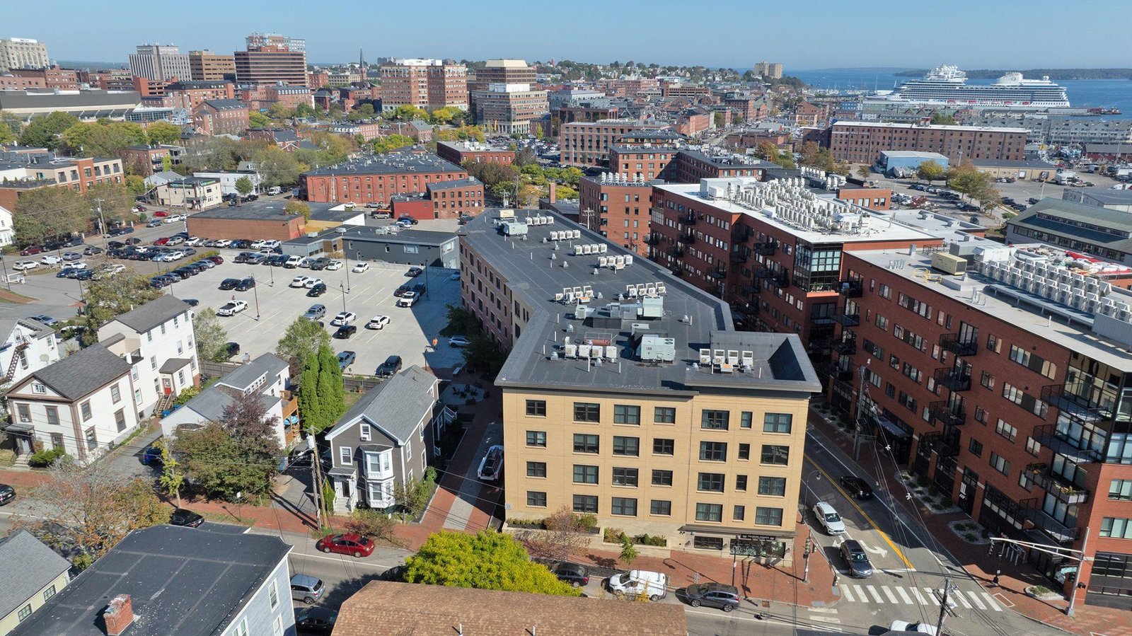
In growing coastal communities, high-resolution aerial photography has become especially valuable for property managers and developers who need frequent progress updates without interrupting tenants or construction crews.
Time savings directly translate into cost savings. Fewer labor hours, reduced equipment rentals, and faster reporting cycles allow projects to stay on schedule and within budget.
Drone inspections go beyond photography. With advanced drone mapping and inspection services, captured data can be converted into measurable maps and 3D models. These digital assets allow contractors and engineers to calculate distances, monitor grading, and compare project phases with architectural plans.
Consistent construction site drone monitoring provides visual timelines of progress. Weekly or monthly flights create a documented record that protects stakeholders and improves transparency.
Instead of relying solely on verbal updates, project managers can present precise aerial documentation. Investors, clients, and municipal officials benefit from clear, timestamped visual evidence of work completed.
This level of detail is especially important for large-scale developments, where precision and accountability matter.
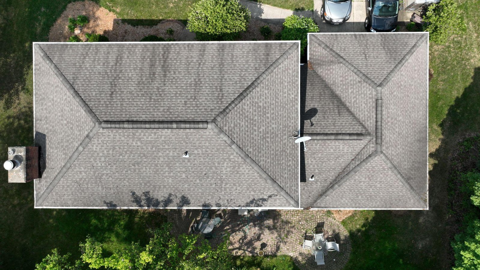
Falls remain one of the leading causes of workplace injuries in the construction and property management industries. Traditional roof inspections require physical access, exposing workers to unstable surfaces, weather hazards, and elevation risks.
Roof inspection services eliminate this danger entirely.
By deploying a licensed drone pilot, inspections are conducted safely from the ground. The drone captures detailed imagery of shingles, flashing, drainage systems, and structural components without anyone stepping onto the roof.
When operated by an FAA-certified drone operator, flights follow federal regulations, ensuring both safety and compliance.
In coastal areas where wind and weather conditions change rapidly, using drones adds another layer of protection by minimizing unnecessary exposure.
Construction sites are dynamic environments filled with heavy equipment, elevated platforms, open trenches, and electrical systems. Conducting regular physical walkthroughs increases the risk of injury.
Through ongoing monitoring of construction sites, supervisors can review aerial footage instead of physically navigating hazardous terrain daily. Drones provide a complete view of site conditions while allowing crews to continue working uninterrupted.
In communities like Falmouth, commercial drone services help contractors maintain safety oversight without increasing liability. Regular aerial inspections can also document compliance with safety standards, providing protection in case of disputes or insurance claims.
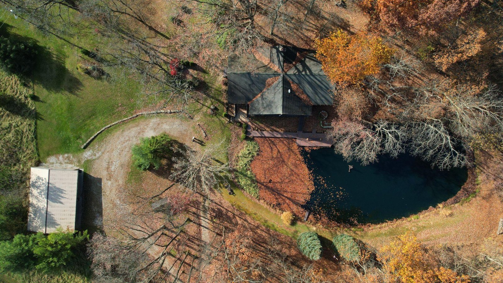
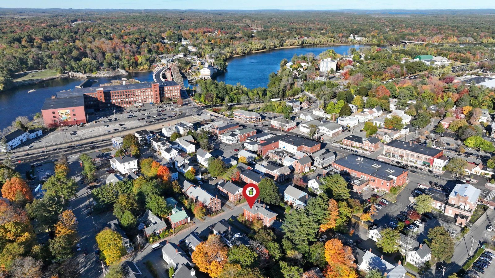
Drone inspections are not limited to industrial use. Aerial visuals reveal property boundaries, neighborhood surroundings, landscaping features, and proximity to waterfronts or commercial areas.
For high-end listings, aerial video footage offers immersive perspectives that enhance buyer engagement. At the same time, inspection footage can highlight roof condition, exterior damage, or drainage concerns before closing.
In competitive markets, services like drone photography provide both inspection transparency and marketing appeal.
The ability to combine safety assessments with promotional content adds significant value for real estate agents and developers alike.
In addition to routine inspections, drone inspections are invaluable for emergency situations where time and safety are critical. After storms, heavy snowfall, or other unexpected damage, assessing roofs, construction sites, or large properties manually can put workers at significant risk. Using drone roof inspection services, professionals can quickly evaluate structural integrity from a safe distance, identifying areas that need immediate attention.
For instance, after severe weather in Maine, a licensed drone pilot can capture high-resolution imagery of damaged roofs, flooded properties, or compromised construction zones without exposing anyone to danger. This rapid data collection not only speeds up emergency response but also supports insurance claims by providing accurate visual documentation. Similarly, drone mapping can create detailed reports to prioritize repairs and allocate resources efficiently.
By integrating drones into emergency assessment workflows, property managers, contractors, and homeowners gain a safer, faster, and more reliable way to respond to urgent situations, demonstrating how modern aerial technology transforms both inspection and risk management.
Maine’s agricultural industry benefits greatly from drone technology. Large tracts of farmland are difficult to evaluate manually, especially during peak growing seasons.
With agricultural drone services, farmers can assess crop health, identify irrigation inconsistencies, and detect pest or disease patterns quickly. Instead of walking fields for hours, operators receive comprehensive aerial overviews within minutes.
In local farming communities, agricultural drone services provide similar efficiencies tailored to regional terrain and climate.
This technology supports smarter decision-making, reduces labor demands, and improves yield outcomes.
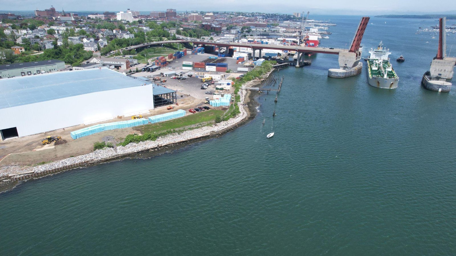
Maine’s coastline presents unique inspection challenges. Docks, marinas, and waterfront properties are often difficult to evaluate safely.
Drones are frequently used not only for marketing but also for structural assessments. Hull conditions, dock alignment, and marina layouts can be documented without complicated setups.
Drones simplify what was once a complex and potentially hazardous task.
A common misconception is that drone services are expensive. In reality, they often reduce total project costs.
By minimizing labor hours and eliminating equipment rentals, businesses frequently discover that affordable drone photography provides better long-term value than traditional inspections. Clients searching online for a dependable drone service often discover that aerial inspections offer both financial and operational advantages.
Hiring the right provider is critical. Reputable companies operate with proper licensing, insurance, and federal certification. Choosing a professional drone photographer ensures both technical expertise and compliance.
In Falmouth, working with a licensed drone pilot ensures familiarity with local regulations and coastal weather conditions.
Local knowledge enhances scheduling flexibility, turnaround time, and flight safety.
Many drone providers offer additional services beyond inspections. Businesses often incorporate drone marketing videos into promotional strategies, highlighting properties, projects, and developments.
Services such as drone photography demonstrate the versatility of professional aerial services.
Additionally, offerings like wedding drone videography provide clients with both practical inspection solutions and creative visual storytelling.
This adaptability makes drones an essential tool across industries.
As industries evolve, safety regulations tighten and efficiency expectations increase. Drone technology addresses both demands simultaneously.
Aerial inspections reduce exposure to risk, provide better documentation, and accelerate decision-making. They create digital records that protect businesses and improve communication between teams.
From roofing assessments to large-scale developments, drone technology represents the future of safe and efficient inspections.
If you are ready to improve efficiency, reduce liability, and gain clearer insight into your property or project, professional drone services provide the solution. Quality Aerials provides drone inspection services in Maine while working with experienced, certified operators who ensure accurate results and complete peace of mind. Additionally, Quality Aerials provides professional drone inspection services, photography, and videography, designed to support real business goals.
If you’re ready to reduce risk, save time, and gain accurate, high-resolution insight into your property or project, contact Quality Aerials today to schedule your professional drone inspection.