
Construction managers need to understand a changing site while coordinating people who may not be standing in the same place. Excavation boundaries shift, access routes change, materials arrive, and new structures can quickly conceal earlier work. A photograph from one corner records a moment; a planned aerial collection can show how that moment fits into the entire project. That is why drone surveying and mapping is attracting attention as a practical support for site planning and documentation.
The phrase does not mean every drone photograph is a survey. Meaningful mapping needs a defined method, suitable data processing, and accuracy appropriate to the intended use. Meanwhile, ordinary construction site drone monitoring can provide valuable progress records without claiming measurements it cannot support. Our project portfolio illustrates the visual perspective professional aerial documentation can provide for built environments. The central question for every project is which decisions the images must help people make.
A construction team may need an overview before work begins, a record after excavation, or evidence of progress during installation. Each purpose asks for a different form of visual information. A wide oblique view is useful for showing context and communicating with people unfamiliar with the site. A structured collection of downward-looking images may be more appropriate when the team needs a map-like representation for comparison or planning.
Mapping should therefore be defined at the start of a job rather than used as a loose description of any aerial shoot. The project team might request a visual base layer, a record of accessible surface conditions, an illustrative 3D model, or measurements validated to an agreed accuracy. Those deliverables are not interchangeable. Their quality depends on camera settings, positioning, overlap, ground references, processing, and the site’s physical features.
Formal boundary surveys and engineering measurements retain their own requirements. A drone cannot establish ownership boundaries merely by photographing a fence or estimating where a line should fall. When a project requires certified dimensions, legal parcel boundaries, or construction control, qualified survey professionals must provide or validate the relevant data. Aerial outputs can work alongside that information, but they should not be described as a blanket replacement for it.
A mapping workflow begins by identifying the questions that the final products must answer. Does the team need an overview of equipment routes? A comparison of cleared land between two dates? Or a surface model to evaluate a grading proposal? This choice determines the flight area, altitude, camera orientation, image overlap, ground reference requirements, and processing work. Capturing more photographs does not automatically improve a result if the required geometry or control is missing.
For photogrammetry, software looks for shared features across overlapping images and estimates how those images relate in space. With appropriate control and processing, the image set may generate an orthomosaic, point cloud, or surface model. These outputs describe visible surfaces, not structures hidden below ground or behind equipment. Areas under tree cover, reflective water, or uniform material may be difficult to reconstruct reliably. A plan should anticipate those limitations before promising a usable model.
A ground control point is a precisely located feature used to help position or validate aerial data. Independent checkpoints can then test the accuracy of the output rather than simply accepting the software’s reported fit. Site staff should understand which coordinate system the deliverable uses and whether the values are suitable for the requested decisions. USGS guidance on calibrating drone imagery explains why camera geometry, control points, and validation matter to mapping quality.
The flight itself also needs practical coordination. Equipment, moving cranes, nearby roads, workers, and changing wind may all affect the feasible route. Clear arrangements with the site manager support safer operations and prevent interruptions in the middle of an essential work activity. A useful aerial map begins with a realistic site plan, not a last-minute flight over a busy project.
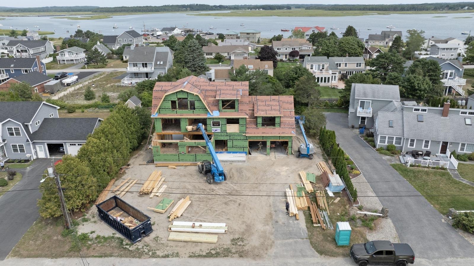
An orthomosaic combines overlapping aerial images into one corrected, map-like view. Unlike a single oblique photograph, the intended result is a more consistent overhead representation of the visible surface. It can help teams identify where access paths, stockpiles, temporary structures, or drainage routes sit relative to one another. That shared view is valuable because discussions no longer depend only on verbal descriptions of different corners of the site.
A properly produced orthomosaic may be georeferenced, allowing it to align with other mapped information. However, its positional reliability must be established through the acquisition and validation process. Merely stitching images together does not establish that distances are accurate enough for construction layout. It is also possible to create an attractive overview that looks map-like but lacks dependable measurement accuracy. The deliverable should specify what it is and is not intended to support.
Project managers might compare two dated orthomosaics to discuss whether a temporary road has moved, where vegetation has been cleared, or how the footprint of a visible work zone has changed. Designers could use the overview to brief colleagues before a site visit. The team should still check for differences caused by shadows, changes in camera position, parked vehicles, or temporary equipment rather than treating every visible change as permanent work.
The USGS discussion of aerial imaging and mapping describes how overlapping images and photogrammetric techniques can produce orthomosaics and digital surface models. The same general principles matter in construction, even though a coastal research project and a building site demand different accuracy and documentation requirements. When accuracy matters, the specific project standard governs the workflow.
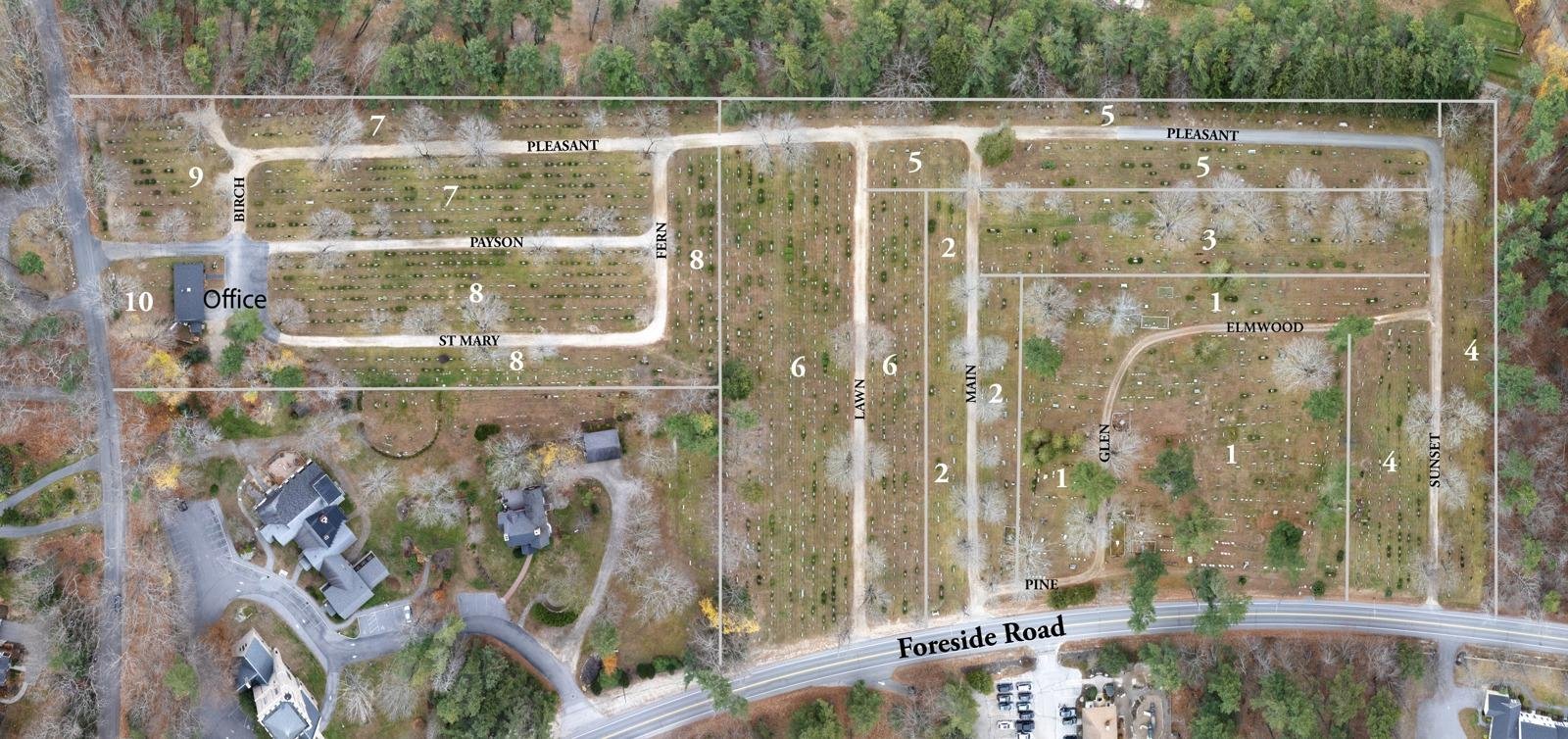
Construction sites are three-dimensional environments. Excavations have depth, embankments have slopes, and stockpiles change shape. A point cloud represents a collection of positions estimated from imagery or measured with suitable sensing equipment. Software can use such information to build a surface model or a textured visual representation. These outputs can help a team describe exposed terrain and visible construction features from more than one angle.
The distinction between a digital surface model and a bare-earth terrain model matters. A surface model may include trees, vehicles, temporary equipment, and structures visible in the captured images. A terrain model is intended to represent the underlying ground and may require further classification or different data. Treating both outputs as identical can lead to misleading conclusions about grade or volume.
Stockpile comparisons, excavation records, and grading discussions are possible uses, provided the dataset has suitable coverage and documented accuracy. A computed volume depends on assumptions about the base surface and the completeness of the visible geometry. Aerial estimates should not become the sole basis for contractual quantities or engineering decisions unless the project has established appropriate control and professional verification.
For nontechnical stakeholders, a simplified 3D view can make the project easier to picture. It may show where a proposed access road meets a slope or how an early excavation relates to a nearby building. That communicative benefit is useful even when the visualization is not authorized for precision measurement. Good labels make the difference clear: illustrative model, georeferenced map, or validated survey-grade product.
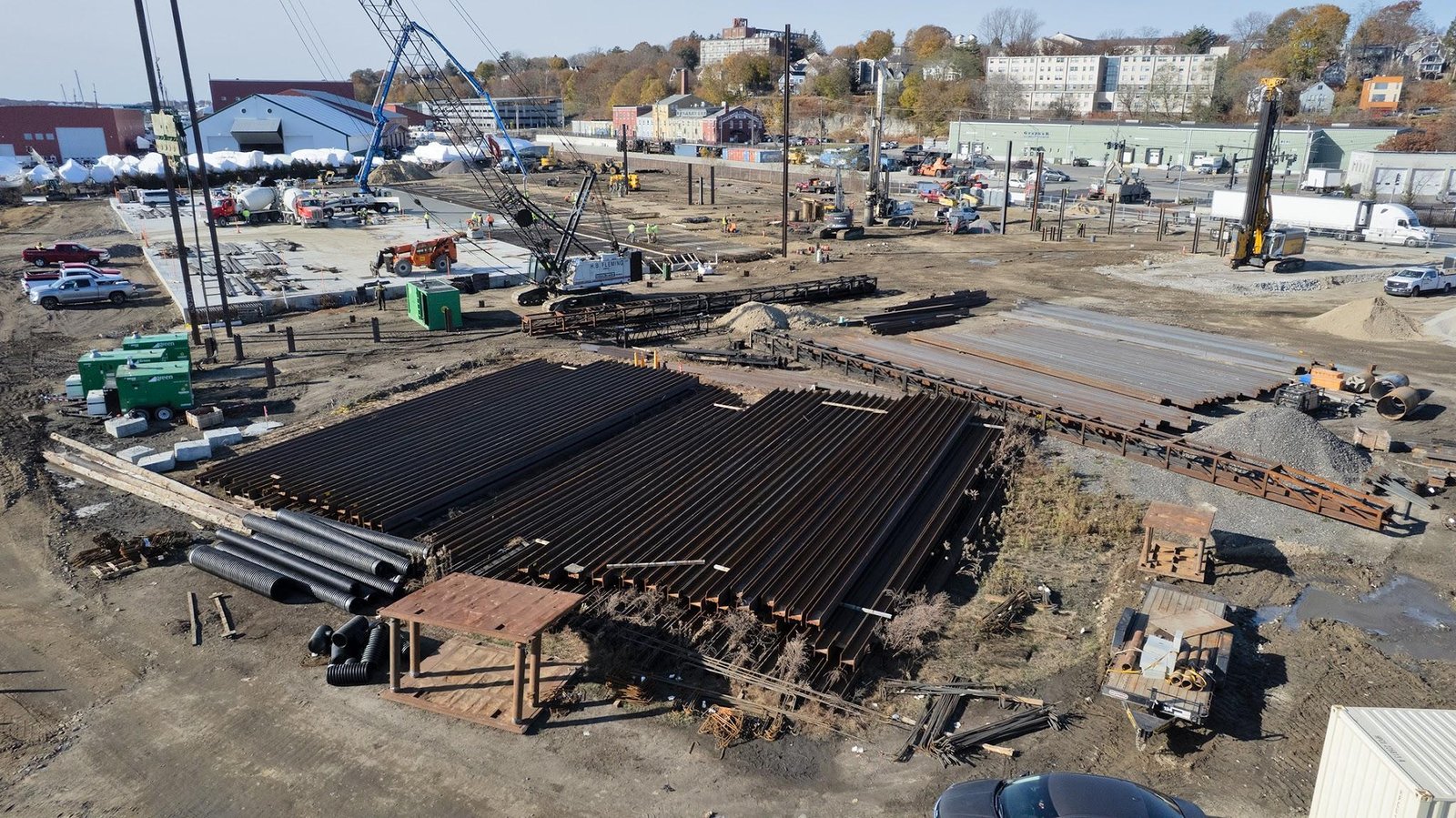
A construction photograph gains value when it can be compared with another image captured in a similar way. During excavation, the team may want to record visible earthwork boundaries and access routes. After foundation work, an overhead record may show the layout before structural elements conceal details. Later flights can document framing, roofs, surrounding surfaces, and site restoration as the project changes.
Repeatability is important, but identical camera coordinates are not always possible on an active site. Teams can agree on several reference viewpoints, approximate flight conditions, and a consistent naming method. Dates, project phases, and notes about unusual conditions help people compare records fairly. The goal is a dependable sequence rather than a collection of unrelated dramatic photographs.
A structured sequence can support drone mapping and inspection services when the intended outputs are clearly scoped. Site staff can compare documented conditions with schedules, inspect an apparent discrepancy on the ground, and use images to explain a concern to a remote consultant. The photograph alone should not be treated as proof that hidden work meets specification. Quality control still depends on inspections, testing, drawings, and the responsible professionals.
The Federal Highway Administration’s overview of unmanned aerial systems describes how aerial systems support transportation data collection and access to difficult locations. Construction teams can apply the underlying documentation principle to their own projects: capture a consistent view, preserve its context, and connect it to the decision process. An image that is easy to retrieve and understand months later is often more useful than one stored without its date or purpose.
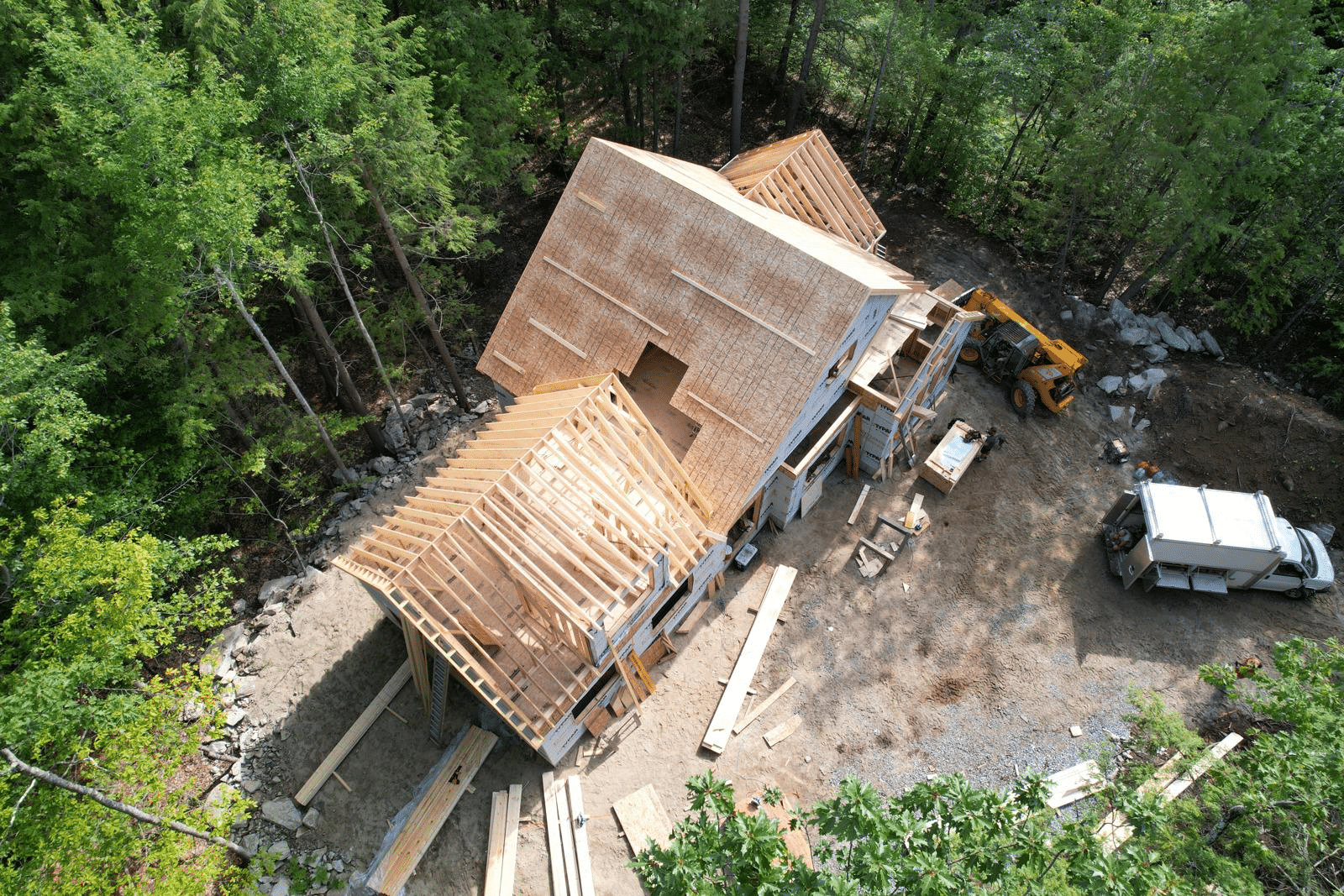
The strongest efficiency argument for aerial documentation is not that every conventional site task disappears. It is that a clear view may reduce repeated trips made solely to understand visible conditions, allow several stakeholders to review the same record, and make changes easier to discuss. Those potential benefits are especially useful when owners, contractors, designers, and consultants are located in different places.
Consider a project with a complex laydown area. A current aerial view can help a meeting focus on actual equipment routes, material storage, and adjacent access constraints. Team members can mark proposed changes on a shared image and then verify feasibility with the people working on site. That can make a meeting more productive without suggesting a photograph replaces safety planning or site supervision.
Documentation can also preserve a timeline. If an owner asks when a surface was cleared or when a section of exterior work became visible, a properly dated image set may help answer the question. The images do not establish responsibility for a delay by themselves, but they can provide context alongside correspondence, schedules, daily reports, and approved records. The value comes from organizing visual evidence with the rest of the project information.
Savings should be evaluated against the actual assignment. A short visual update may take a different level of preparation than a mapping project requiring survey control, multiple flight days, processing, and accuracy validation. Teams should specify the deliverable, review process, format, and desired frequency before comparing costs. Otherwise, two apparently similar drone proposals may cover very different services.
There is no single accuracy number that applies to every drone map. Image quality, control, ground visibility, processing, aircraft positioning, and independent checks all influence the final result. Accuracy should be expressed against a defined standard and tested with appropriate methods, not inferred from a highly detailed image on a screen.
The ASPRS positional accuracy standards provide a framework for discussing geospatial data quality. They are particularly useful when the buyer needs to distinguish an illustrative site visualization from data intended for measurement. Project documentation should state the reference system, validation method, limitations, and intended use rather than using phrases such as survey quality without explanation.
Operating limitations deserve equal attention. Work zones may contain cranes, people, temporary restrictions, and aircraft conflicts. Commercial flights are subject to FAA Part 107 requirements, including applicable airspace and flight rules. A pilot must coordinate with site leadership, and the project team must continue to follow its ordinary workplace safety procedures. A drone is one tool in the workflow, not a permit to ignore these obligations.
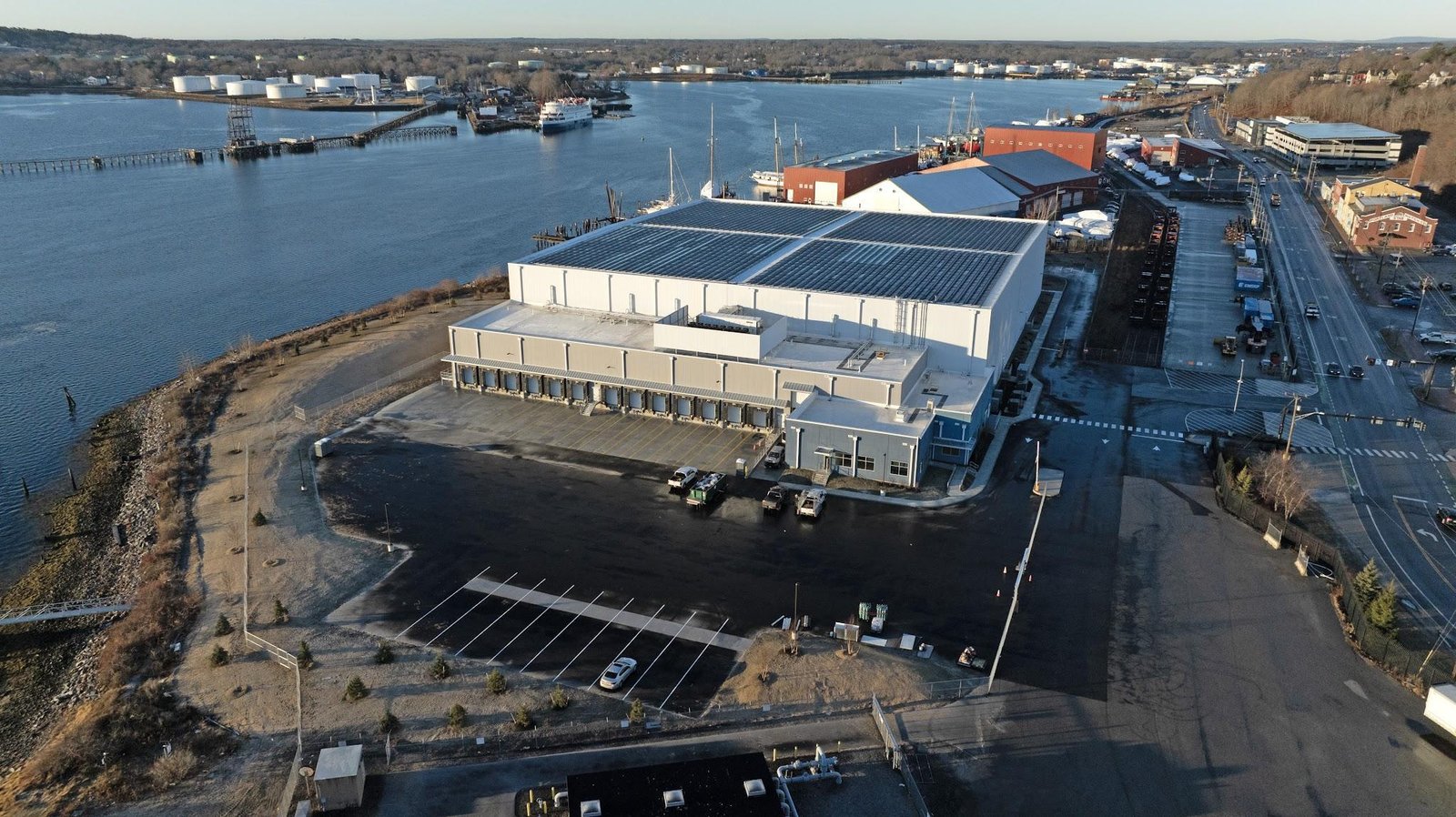
A useful mapping program starts with a decision, works backward to the evidence required, and produces a record everyone can interpret. Whether the immediate need is an overhead progress view or a more technical mapping output, clearly defined scope and realistic accuracy expectations protect the quality of the project.
At Quality Aerials, we produce professional aerial images and videos for commercial properties and construction-related work in Maine, including Portland and the greater Portland area. Teams considering drone services in Maine can benefit from specifying the information needed before flight planning. Our FAA-certified drone operator in Maine can coordinate with qualified surveying or engineering specialists to get the job done. Explore our drone photography capabilities, then contact our team to discuss project documentation requirements.