
A golf course rarely looks the same from one week to the next. Turf responds to weather, shade, foot traffic, irrigation, and maintenance schedules, while dozens of small changes occur across holes separated by acres of terrain. A superintendent may know the course intimately yet still find it difficult to compare conditions from one end to the other. That is where drone services for golf course management can add a useful perspective.
Aerial views do not replace experienced grounds crews. They provide another way to observe large areas, explain problems, and record progress without depending on memory or photographs taken from inconsistent positions. Managers considering aerial photography services in Maine can start by asking what information a repeatable overhead view would help them gather. The possibilities extend beyond attractive marketing shots to routine condition checks and longer-term planning. Our drone photography services page introduces several of those applications.
A course is an interconnected landscape, not a collection of isolated greens. Fairways lead into approaches, bunkers influence movement, cart paths divide traffic, and wooded edges affect light and airflow. From the ground, staff may inspect each feature closely while losing sight of how the features relate. An elevated photograph places them in a common frame, helping managers see patterns between adjoining holes and adjacent maintenance areas.
Aerial records are especially useful when a team needs to explain an observation to someone who was not present. A supervisor can point to a widening worn corridor near a path or the changing outline of a wet area. The image does not supply an automatic diagnosis, but it gives staff a shared reference for discussion. Using a comparable camera angle and flight route across visits can make those discussions more precise.
The value also depends on the question being asked. A general overview may help with routing or landscaping, while a lower-altitude image might show an individual green and its immediate surroundings. An entire-course image is therefore a starting point rather than a substitute for focused documentation. Purdue University Extension’s golf-course UAV example illustrates how aerial views can reveal differences associated with shade, traffic, irrigation, and drainage.
Discoloration on a fairway can come from many causes. Uneven watering, compaction, disease, heat, nutrient availability, and repeated play may all change how grass looks. Aerial photographs can make a pattern easier to spot because similar areas appear together. An irregular brown patch may stand out next to healthy turf; a persistent line of wear may reveal an unexpected traffic route.
The distinction between cameras matters. An ordinary red-green-blue camera records visible colour and can document texture or obvious damage. Multispectral sensors capture selected wavelengths outside normal colour photography and can sometimes reveal vegetation differences that are less obvious to the eye. Thermal sensors record surface-temperature patterns, which may support further investigation but do not directly measure soil moisture or identify a disease by themselves.
A superintendent should therefore use a photograph to decide where to inspect, not what treatment to prescribe. Teams can revisit the apparent problem, check moisture readings, look for pests or disease, and compare the area with maintenance logs. ESRI guidance on multispectral drone imagery explains how vegetation indices can be derived from appropriately captured multispectral imagery. These outputs still require ground observations before maintenance action. That step protects a course from decisions based on a misleading shadow or brief change in lighting.
Consistency makes comparisons meaningful. An image taken in full sun and another taken in long afternoon shadows may suggest an apparent change that has little to do with turf health. Recording the date, flight conditions, approximate altitude, and camera type helps the manager evaluate what actually changed. Over time, these records can support a conversation about recurring stress rather than isolated colour differences.
A simple review cycle helps turn photographs into action. Staff can identify a few repeat locations, establish what a normal image looks like, and decide what change would prompt closer investigation. Comparing the same green after irrigation changes, for instance, may provide better context than a single image from a new angle. A log that connects photographs to staff observations also prevents speculation months later. The images become a practical working record only when someone interprets them against real conditions and follows through with an inspection.
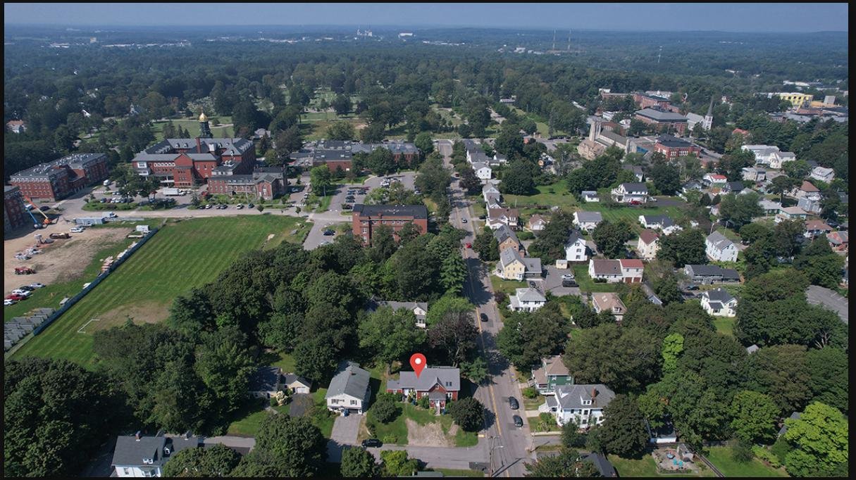
Drainage problems do not always announce themselves with standing water. A section may stay soft after the rest of a fairway has dried, or an approach may collect runoff that is difficult to appreciate at eye level. Aerial imagery can show low-lying areas, visible ponding, drainage channels, and the relationship between trouble spots and the surrounding terrain. It provides spatial context for inspections that crews are already making.
Comparing views following several rain events can be more revealing than photographing the course on one unusually wet day. If a patch repeatedly appears darker or stays waterlogged, staff can investigate grading, soil conditions, irrigation coverage, and drainage infrastructure. Conversely, recurring pale turf along sprinkler boundaries might encourage a closer look at water distribution. A camera alone cannot tell the team which underground component has failed.
The same caution applies to dry areas. A lighter patch could reflect shade, turf variety, recent maintenance, or water deficit. Managers should review moisture readings and sprinkler performance before concluding that an aerial pattern proves a watering problem. Rutgers turfgrass guidance on assessing drainage notes that excess water accumulation can indicate conditions restricting drainage, supporting the need for investigation rather than guesswork.
Good documentation also improves the practical conversation between a superintendent and a contractor. Marking the locations requiring investigation on a course overview is easier than describing them only by distance from the nearest bunker. Following a repair, another aerial record can show the visible surface condition and help organize subsequent checks. This approach is most useful when every image is tied to a real maintenance question.
Course renovation involves compromises between playability, maintenance, budgets, and the character of the land. A proposed bunker reshaping project, for example, may affect both the visual approach to a hole and the route used by maintenance vehicles. An aerial image can show those connected effects before the work begins. Staff can annotate photographs to discuss tree removal, irrigation upgrades, path changes, and landscaping priorities.
Teams sometimes use drone inspection services in Maine as a broader way to describe close aerial documentation. For golf facilities, the best objective is usually more specific: make a defined feature visible, capture its relationship to nearby features, or compare its condition with earlier records. That focus helps avoid collecting hundreds of impressive but unusable photographs. Each requested view should answer a question linked to a decision.
Aerial mapping is a separate technical step. A properly planned mapping project may combine overlapping photographs into a map-like image or terrain model. Its reliability depends on methods, camera calibration, ground reference, and quality checks. A simple photograph with lines drawn on it is not equivalent to a surveyed plan. When design dimensions or legal boundaries matter, a qualified design or surveying professional must establish the required accuracy.
Course improvements benefit from a clear before-and-after record even when no measured map is needed. A sequence captured from comparable viewpoints can show how a new path relates to the surrounding turf or how clearing vegetation changes the visual character of a hole. Such documentation allows decision-makers to evaluate completed work without relying solely on recollection. It can also become part of the facility’s long-term maintenance archive.
Budget planning becomes easier when proposals are visually specific. A committee deciding between several improvements can refer to a dated aerial photograph showing which area is being discussed, what lies nearby, and how the change could affect everyday course operations. The picture does not establish construction cost or suitability, but it reduces the chance that different participants are imagining different locations. A marked image paired with a written scope and an on-site assessment can therefore make approval discussions more productive without pretending to be a technical design.
Storms can change a golf landscape quickly. Fallen branches may block paths, debris may spread across fairways, and saturated areas may remain inaccessible to machinery. An overhead assessment can help a team understand the visible extent of the disruption before assigning detailed inspections. It does not make a damaged tree safe, identify a hidden electrical hazard, or remove the need to visit the site.
Seasonal comparisons can be equally valuable when conditions change slowly. In Maine, spring reopening, active summer use, autumn colour, and winter preparation present very different views of the same holes. A series photographed from similar positions can create a coherent record of turf coverage, vegetation growth, and changes to course features. That record helps distinguish a normal seasonal cycle from a location that repeatedly needs attention.
The most valuable archive is organized, not merely large. Teams might label images by date and hole, record the event that prompted the flight, and save selected views beside maintenance notes. They can then retrieve the relevant reference when reviewing future repairs or discussing what happened after an earlier storm. This is much more useful than a folder of anonymous photographs with no common naming structure.
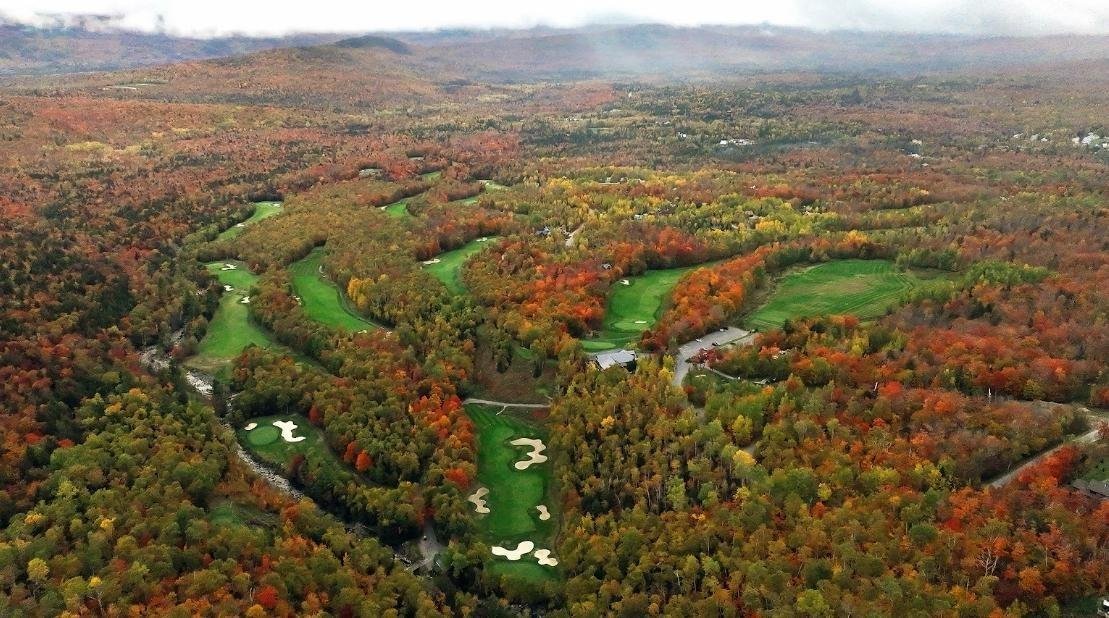
Maintenance work can temporarily disrupt play, and members do not always see the reasons behind it. A well-chosen aerial comparison can explain why a drainage project requires access across more than one hole or show progress on a planned improvement. Images give board members, owners, and club committees a common reference when discussing costs, sequencing, and what remains unfinished.
Aerial footage can also help describe the experience of the course to prospective visitors. A carefully composed view of fairways, surrounding trees, and clubhouse areas explains setting in a way that a close view of a single green cannot. Promotional use should remain separate from technical reporting. A beautiful wide shot should not be presented as proof that an irrigation system is functioning correctly.
Clarity is more useful than theatrical editing. Labels identifying a work zone or the date of an image can make a presentation easier to understand, while exaggerated colour adjustments may distort the condition being documented. The purpose of each visual should dictate how it is captured and edited. Reports benefit from consistent, faithful imagery; marketing material may call for a more expressive but still accurate sequence.
Courses also benefit from deciding who owns the resulting archive. A large collection scattered across individual staff phones will be difficult to use when personnel change. Consistent file naming, a shared folder structure, and brief notes about each image help the next superintendent understand why a photograph was taken. Sensitive operational details can be kept in an internal folder, while selected images may be prepared for members. This separation preserves usefulness without treating every maintenance photograph as promotional material.
Start with a small set of questions: Which areas need regular attention? How often would comparison be useful? Who will review the files, and what ground checks will follow? A pilot and a course representative can then agree on practical viewpoints and a safe operating window. Busy tee times, occupied paths, nearby buildings, wind, and restricted airspace all influence a suitable plan.
Commercial flights must follow applicable aviation requirements. The Federal Aviation Administration’s Part 107 guidance outlines important operating rules, including responsibilities concerning people, visibility, and airspace. A facility should confirm authorization and operational arrangements rather than assume its privately owned grounds automatically permit unrestricted flights. Good coordination protects the quality of the work as well as everyone using the course.
Aerial imagery is most valuable when it supports decisions already important to the maintenance team: finding places to investigate, recording change, explaining plans, and documenting completed work. Combined with ground inspections, thoughtfully repeated views can turn a broad property into a more understandable set of conditions and priorities.
At Quality Aerials, we create professional aerial photography and video for properties and projects in Maine, including the greater Portland area. Facilities exploring commercial drone services in Falmouth, ME, can begin by defining how frequently course conditions should be photographed. Discussing those needs with our licensed drone pilot in Maine can clarify what is practical in active playing areas. Review our aerial project portfolio for examples of our visual work, and contact our team to discuss a course-imagery plan.