The real estate industry is a major user of photography. Home buyers often rely on images from real estate firms and marketing websites like Zillow to narrow their potential home choices. Since the emergence of drones in 2016, their ability to capture aerial images that provide a bird’s-eye view has offered a perspective that traditional real estate photography cannot match.
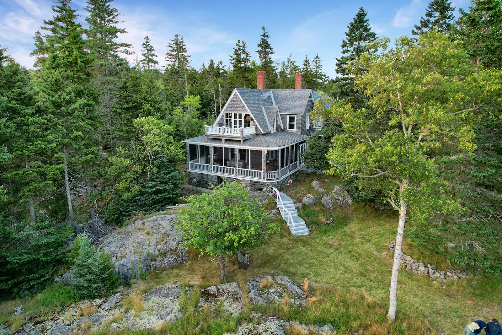
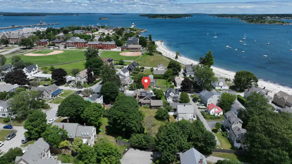
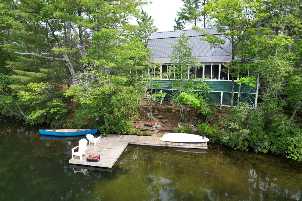
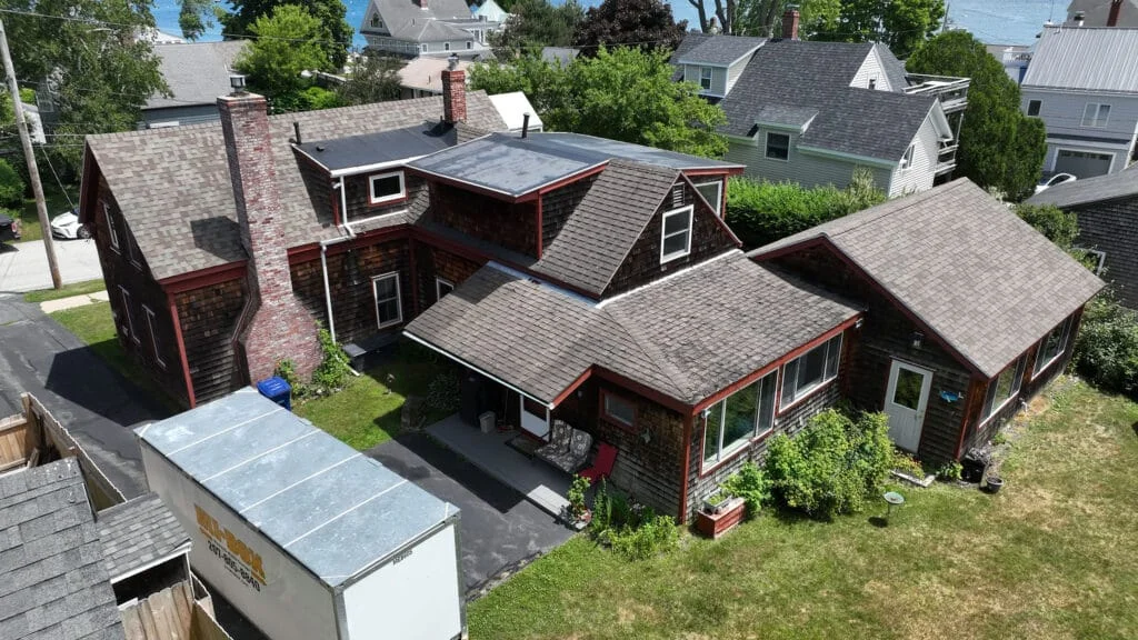
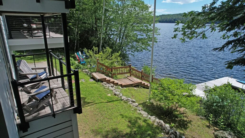
Aerial views can showcase property amenities, physical locations, and nearby structures, giving potential buyers a comprehensive view that resembles an in-person walk-through. Additionally, aerial photography can be invaluable for real estate developers and renovators. They can use these aerial perspectives to determine the best new buildings and amenities placements. By combining aerial images with topographic data, developers can identify ideal locations for structures and spot potential issues. Moreover, drones equipped with thermal sensing capabilities can assist in assessing energy efficiency and highlighting areas for improvement.
Commercial-grade drones are the most efficient and cost-effective tool for capturing aerial images. They provide stable photographs and videos of real estate in high-definition and ultra-high-definition, ensuring sufficient detail for brochures, websites, social media, and other advertising and marketing needs. From the air, drones can circle a property or follow a winding driveway leading to a house, quickly offering complete property coverage.
Quality Aerials, serving Maine and New England, is a leading residential and commercial real estate photography choice. We offer a comprehensive package that combines stunning aerial views with professionally captured ground images. We achieve the best results for exterior and interior ground shots using high-quality Nikon and Sony cameras and various lenses and angles.
Our post-processing services enhance the final product by eliminating shadows, adjusting lighting and contrast, and correcting color balance. We pride ourselves on our quick turnaround time, often delivering results within 48 hours. We can work in challenging conditions, including low-light, backlit, and high-contrast environments.
Everyone’s safety is crucial when flying drones. Safe operation includes understanding and following the rules and restrictions set by the FAA and responsible maintenance and operation of the equipment. Quality Aerial’s talented drone pilots are FAA-licensed and insured operators with years of experience in professional drone photography.
Contact us and let us know what you are looking for; we would love to speak with you.
Click an image to magnify, click again to return
Our wide-angle aerial photography provides prospective buyers with a clear and engaging view that pinpoints a structure's location, the surrounding neighborhood, and other location details.
Property Walkthrough Video at Channel Cove, ME
Surrounding Area Video of Peaks Island, ME Property